
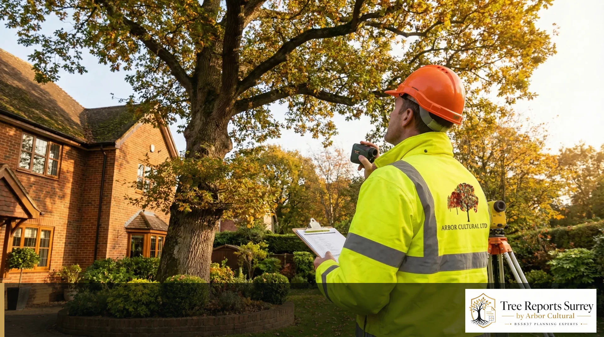
Reliable tree information before the layout is locked down
A BS5837 tree survey gives the project team the baseline information needed to design and plan around trees. It records the relevant trees, their dimensions and condition, and the information used to establish Root Protection Areas and retention categories.
The survey is the starting point when a development site has trees on it, beside it or close enough to influence what can be built. A consultant visits the site and records the relevant trees so the design team is working from measured information rather than assumptions.
For an architect, the value is not simply the schedule. It is understanding where the important constraints sit before the footprint, access, parking, drainage and services become fixed. For a homeowner, it means knowing what the council is likely to expect before spending money on a design that may need to move.
If a topographical survey is available, send it. Good base information makes coordination easier and helps the tree references, crowns and Root Protection Areas move cleanly into later plans and reports.
What you receive
The exact output depends on the site and project stage, but the work should always be clear, coordinated and usable by the people making the next decision.
- Tree schedule with species, dimensions, condition and life-stage data
- BS5837 retention categories and quality assessment
- Stem diameter and crown spread measurements
- Root Protection Area calculations
- Identification of trees on or adjacent to the site that can influence design
- Recommendations for the next planning documents where the proposal creates conflicts
The finished information should be easy for the client and design team to understand, technically defensible for the Local Planning Authority and practical enough to carry forward into the next project stage.
Delivered by Arbor Cultural: read the main BS5837 Tree Survey service information →